
Exploring Dingle, a small port town in the South Western Ireland, was one step closer in getting to know this peculiar, celtic Country. Which also includes the crazy weather that I underestimated. The rain and the wind was one hell of a combination for a scary drive. Driving through the road wrapping around the Slieve Mish mountain range at the neck of the peninsula, overlooking the Atlantic Ocean and the rugged landscape covered with myriad colors seemed like the silver lining that I was looking for amidst the gloom. The roads were soon covered with fog tensing me into driving slower and carefully, making me regret my decision of visiting Dingle in Winter!! Just when disappointment took over, clouds started diminishing as I drove past the sharp curving cliff, entering the town of Dingle nestled amidst the mountains and the peninsula, undeterred by rain or wind welcoming me in all its serenity!

Dingle runs majorly on tourism, December being an off-season, finding a restaurant that was open was a task. I was hungry after a long 3 hour drive from Doolin. I found an Irish bar serving good food and drinks called Murphy’s. While sipping on some Irish coffee and surfing on internet to plan my next day, I stumbled upon Rick steves self-guided Dingle loop trail. I was very intrigued by the article, the history, the specificity of the instructions, without a single picture for reference quadrupled my curiosity in wanting to visit those places to see it for myself.

This loop trail is perfect to enjoy your entire day driving around Dingle without GPS. It took me a whole day to cover the trail as I spend some time at every spot and at some it took a little time finding it. I thought of adding some pictures and two-cents to the already amazing post that does complete justice in unraveling the history and the beauty of this small fishing village!

I started my trail from OceanWorld as mentioned in the article. I didn’t fix my odometer to 0.0Km, instead I started looking for the names listed in it. You can refer to the article here for complete guidance, instructions, information and mine for pictures to make sure you are at the right place, Here it goes!

- Driving through the colorful strand street towards the OceanWorld was the kind of start I was looking to commence my trail that I was super excited for. You’ll find the “two up and two down” apartments on your way out of the main street towards the roundabout. Colors are literally everywhere in the smallest corner of Dingle, which makes it one of my most favorite places in Ireland so far!

- (0.5Km) The Milltown B&B estuary right across the roundabout is the first stop. I would suggest taking the left after the round about following the sign to Milltown B&B to get a stunning view of the town. The narrow mouth of the harbor and the Ring of Kerry are clearly visible from here. It made me think about the plight of the ships trying to get to this tiny, blind harbor.

- (1.3Km) The article then gives an overview of the Ventry Estate which gets its “40 shades of green” from more than 100 inches of rain every year. It also turned out to be the most uplifting part of the tour as I came to realize by the end of it. It didn’t have an unnerving or a shocking story rather, it use to be a mansion which is now serving as a boarding school.

- (4.6Km) I drove straight to the Ventry Bay which is a four mile long beach and hosts a mobile community. These mobile houses have no running water or electricity in front of the beach which was hard to believe but true! With a beach view like that, I wouldn’t complain either!


- (4.6KM)Long’s horseback riding right across the beach.

- (8.6Km) I had no idea about Paidi O Sea until I read about it in the article. I was very curious to see the statue. It is funny that I stopped right after I saw a grocery store named Paidi O Sea instead of the pub right in front of it. I guess I was craving for coffee and laid my eyes on what I sought or the fact that the pub only opened at 3:00PM in winter 🙁


- (9.2Km) I spotted a plain blue cottage hiding deep inside the forest on the left after the pub, where Tom cruise and Nicole Kidman stayed during the filming of Far and Away. Unfortunately I couldn’t get a picture of it, as it was still covered with foliage and too hard to spot.
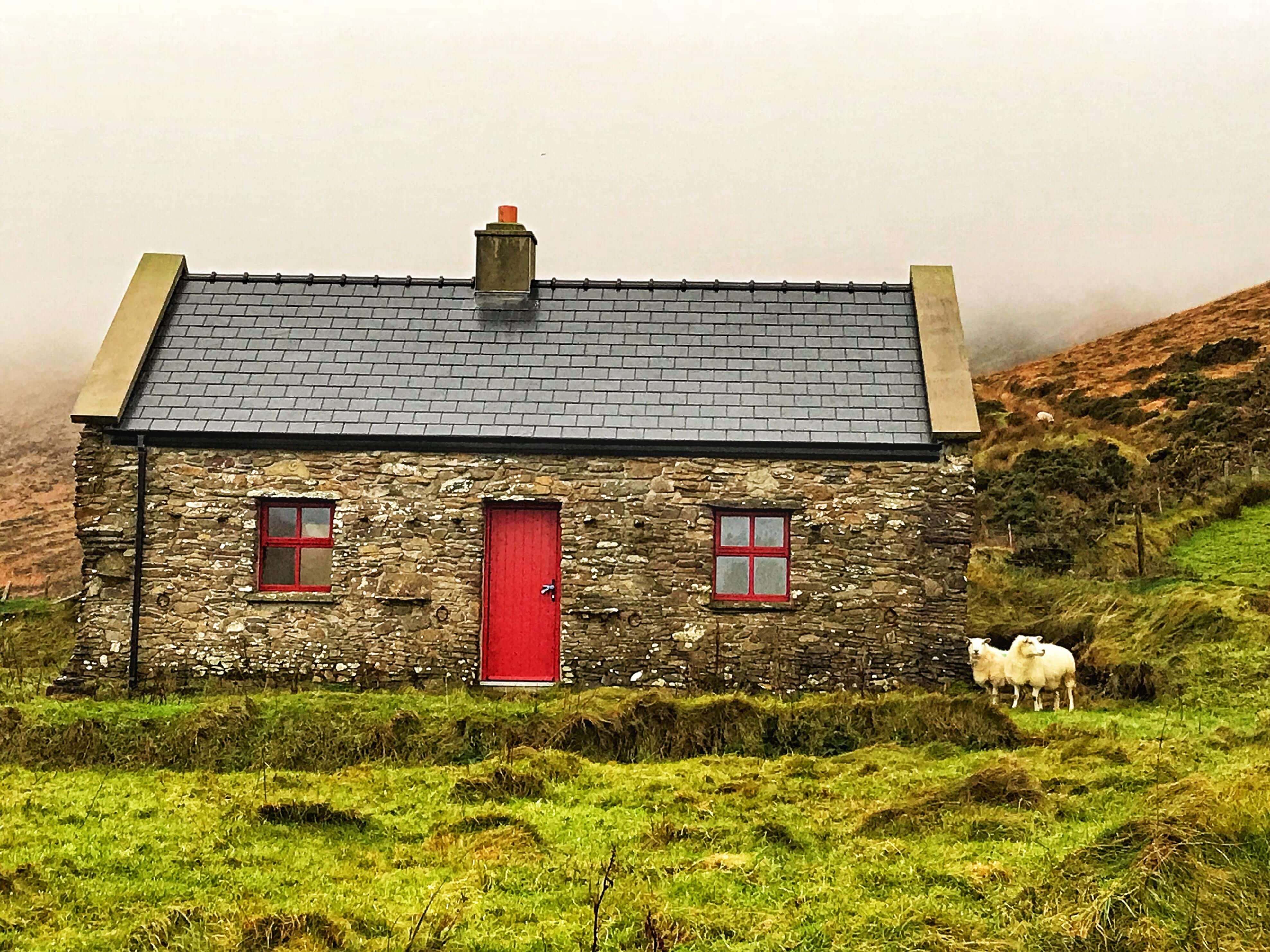
- (12.6Km) My next stop was the Famine Cottage, entrance to which was closed for the season. However, I climbed the barricades and went in anyway. It’s a small 2 minute steep hike up to the cottages on the hill with a massive view of Dingle Peninsula. These cottages are a pure reflection of the simple irish lifestyle back in the days. They are called famine cottage, because many families had to abandon their homes due to the Great Famine in 1845.

- (12.5 Km) I was curious to see the promontory fort of Dunbeg which was speculated to fall anytime. Unfortunately a part of it had already fallen into the sea!

- (12.5Km) The stone roof house right in front of the fort which is now stone house restaurant and has a dry-docked boat in its parking lot.

- (13.4Km) The mysterious Bee hive huts are right ahead of the fort and is the best place to get an uninterrupted view of the Dingle Peninsula. The view from here left me speechless. You can also see Skellig Michaels from here.

- (16.1Km) Slea head drive ends at the Crucifix. I absolutely loved this drive for the grandiose views along the coast. From the crucifix, the awe-inspiring Atlantic Ocean waves are extra-ordinary and it indeed seemed like white horses racing towards the shore!

- (16.9Km) Just ahead of Slea head drive is the Dun Chaon (Dun Quin) Village. It is home to Dun Quin Pier and Dunmore head which is the westernmost part of the Country. The article rightly read about there being many rocky homes in Dunquin which were abandoned by the families during the famine. I saw the home on my way which were fixed as the area now serves as a holiday home.

- (16.9Km) A short drive ahead following the signs for Dun More Head, is the most western part of Ireland. The famous MV Ranga was wrecked at Dun More Head. Also, you get a closer view of Skellig Michael and Blasket Island from here.

- (19.3Km) A little further lies the Dunquin Pier, where people from Blasket Island docked their boats and hiked 12 miles from here to Dingle with their livestock and other items to sell in the town.

- (22.3 Km) The Great Blasket Center is worth a stop for all the information on Blasket Island and a coffee break.

- (24.9 Km) The scenic pull out on the left was definitely a great way of ending this picturesque drive. Withstanding the wind near the land overlooking the magnificent sight of the hills surrounding the Atlantic Ocean is the best way to immerse in the calmness of the place which is now a reminder of the Great famine!

- (24.9 Km) On the way the distant hills are crowned by lookout forts built back when Britain expected Napoleon to invade. It being cloudy by the end of the day, the lookout forts were not visible.

- (30 Km) When I learnt that town of Ballyferriter village is the largest in that part of Dingle, I was shocked. The town started and ended in a minute! It being winter, the restaurants were shut. However, they are open in the summer and perfect to grab small bites as you approach the end of the loop.

- (35.6 Km) The Gallarus Oratory was built about 1,300 years ago and is one of Ireland’s best-preserved early-Christian churches. The waterproof drystone walls and the shape of an upturned boat tempted me into visiting this place. As I stood here, I could picture the interior lit by candles during medieval monastic services.


And that marked the end of my loop trail adventure as I drove back to the town feeling a lot closer and connected to the place. I was completely immersed in the intricacies, details, beauty, cause, facts and everything that the place represented! Ireland especially seems to have that power on you because of its tragic and dramatic history!! Nonetheless it only made the experience more enjoyable and worthy. Besides its always good to get a dose of history, especially if the story is right in front of you in all its glory.


